
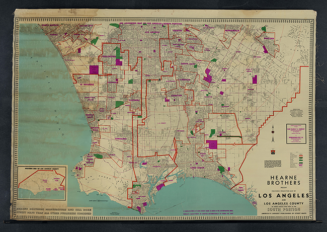
The Wall Map Collection contains more than 100 wall maps dating from the late nineteenth to mid-twentieth centuries. Maps contain a range of general, topographic, cadastral, navigational, and nautical information about the Western United States, particularly the state of California, and Los Angeles City and County.
The collection was made possible by a grant from The John Randolph Haynes and Dora Haynes Foundation.